Стаття до проекту "Моє рідне місто/село" Буткевича Антон Володимировича
Зміст
Yokohama
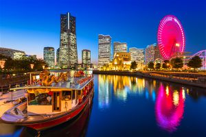
Yokohama (横浜) is Japan's second largest city with a population of over three million. Yokohama is located less than half an hour south of Tokyo by train, and is the capital of Kanagawa Prefecture.
Towards the end of the Edo Period (1603-1867), during which Japan maintained a policy of self-isolation, Yokohama's port was one of the first to be opened to foreign trade in 1859. Consequently, Yokohama quickly grew from a small fishing village into one of Japan's major cities.
Until today, Yokohama remains popular among expats, has one of the world's largest chinatowns and preserves some former Western residences in the Yamate district.
Yokohama is situated on the western coast of Tokyo Bay, about 20 miles (32 km) southwest of Tokyo; the major industrial city of Kawasaki lies between the two larger metropolises. Yokohama stands on a coastal plain shut in by hills, one of which terminates toward the southeast in a promontory called Cape Hommoku. The climate is mild in winter and hot and humid in summer. Early summer and early autumn are rainy seasons; typhoons often strike in September. Area 167 square miles (433 square km). Pop. (2010) 3,688,773.
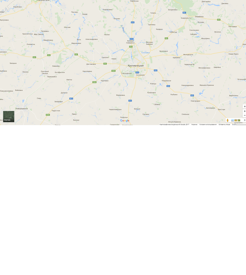
Рідне місто або село на карті України Google карти
Таблиця "Найважливіші події на території рідного краю"
| Дата | Історична подія |
|---|---|
Ресурси:
- Посилання на презентацію у Google Диск;
- Посилання на власний фотоальбом у Google Диск;
- Посилання на власний блог у Blogger;
- Посилання на добірку відеоматеріалів;
- Посилання на опитування або анкету у Google Форми;
- Посилання на спільний груповий постер.
Сторінка проекту Проект "Моє рідне місто або село"
Кіровоградський державний педагогічний університет імені Володимира Винниченка


